Problems with this forecast…Computer models really aren’t agreeing on the track of the storm system…GFS has the system Moving into Southern IA then into Central IL before working it into IN…..Meanwhile NAM has the low moving into Northeast IA/Southwest WI Before tracking it to around the Door County area…..What both models do agree on is that the area of low pressure will become stronger as it pushes East of the area…..EC has a track close to the NAM, however just a tap North, either way once again this should not play accumulations …..Also EC does deepen the low once it moves past the area…..With models agreeing on that…This system should turn out to be a wind jammer……Wind could gust up to 40 MPH at time throughout the FA…Wind could gusts up to 45 to maybe as high as 50 MPH in our wind prone areas…..This will cause problems for high profile trucks, and vans…
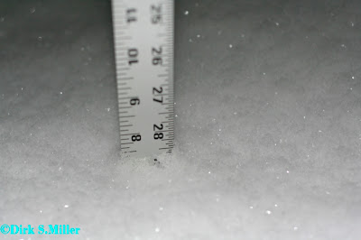
Now as far as snowfall amounts….Models aren’t really seeing eye to eye….So have decided to blend NAM and EC models for the snowfall amounts I have threw GFS out the window as it can’t seem to handle any snowfall amount this year!.....The highest total will be along the South Shore of Lake Superior, where there could be 10 plus inches of snow, mainly due to LES…..The 5 to 8 inches snowfall areas also have a chance for some LES this is the reason for them amount versus going with 3 to 6 inches…..
Tonight and tomorrow some areas could see near to blizzard conditions with winds gusting 35 to 45 MPH throughout the area…Winds along with heavy snow falling, this could lead to blowing and drifting snows, which could cause travel problems later tonight into Sunday late afternoon or Sunday evening.
Also noted in my far Southern areas there may also be more of mix prcip which could hold snow totals down….There will be some mix prcip as the system first cranks up, however this will be changing to all snow rather fast for my Central and Northern areas….
Moonshot
8 months ago


