This shall be the case once again this year….Before we get to our local area, let’s take a look at the CONUS first….
With La Nina forecasted to become stronger as we head towards winter here is out thinking…Will also based this forecast on last winter’s setup. We threw out the warm trend we are currently in as this was the same setup last year at this time….
This forecast period runs from Nov through Mar…. This is the overall outlook. This is based on the average how on the this winter will end up being once the temps and precip is averaged out…..
Ok first map is our precip outlook for the CONUS…

The map below is our temp outlook for the CONUS…

Now for the local area…. The first map is out snowfall outlook map.

The map below is out temp outlook.
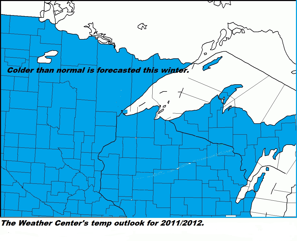
We are forecasting above normal snowfall throughout much of the area,with below normal snowfall From just South of a Twin Cities MN to Durand WI line....We are forecasting a colder winter throughout the whole area.....Once again this is how the winter is forecasted to average out....


