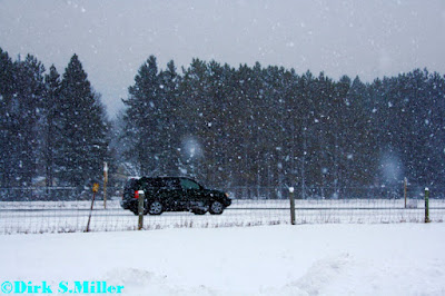
As forecasted the heavier snows did fall through Northern Barron, Polk, and Rusk Counties and points to the North/Northeast of that area....The highest snow amounts have been found over the South Shores of Lake Superior....
Here at the office we picked up 6.00 inches of snow, that amount may have been higher, however didn't get a chance to take another reading as I was out of the office most of today....Winds have been gusting up to 45 MPH here at the office over the last hour....Still areas of blowing and drifting snow will remain a problem for parts of the FA.
Here are some pictures from last night and today....Videos can be found on youtube...See link to the right.
Moonshot
7 months ago


